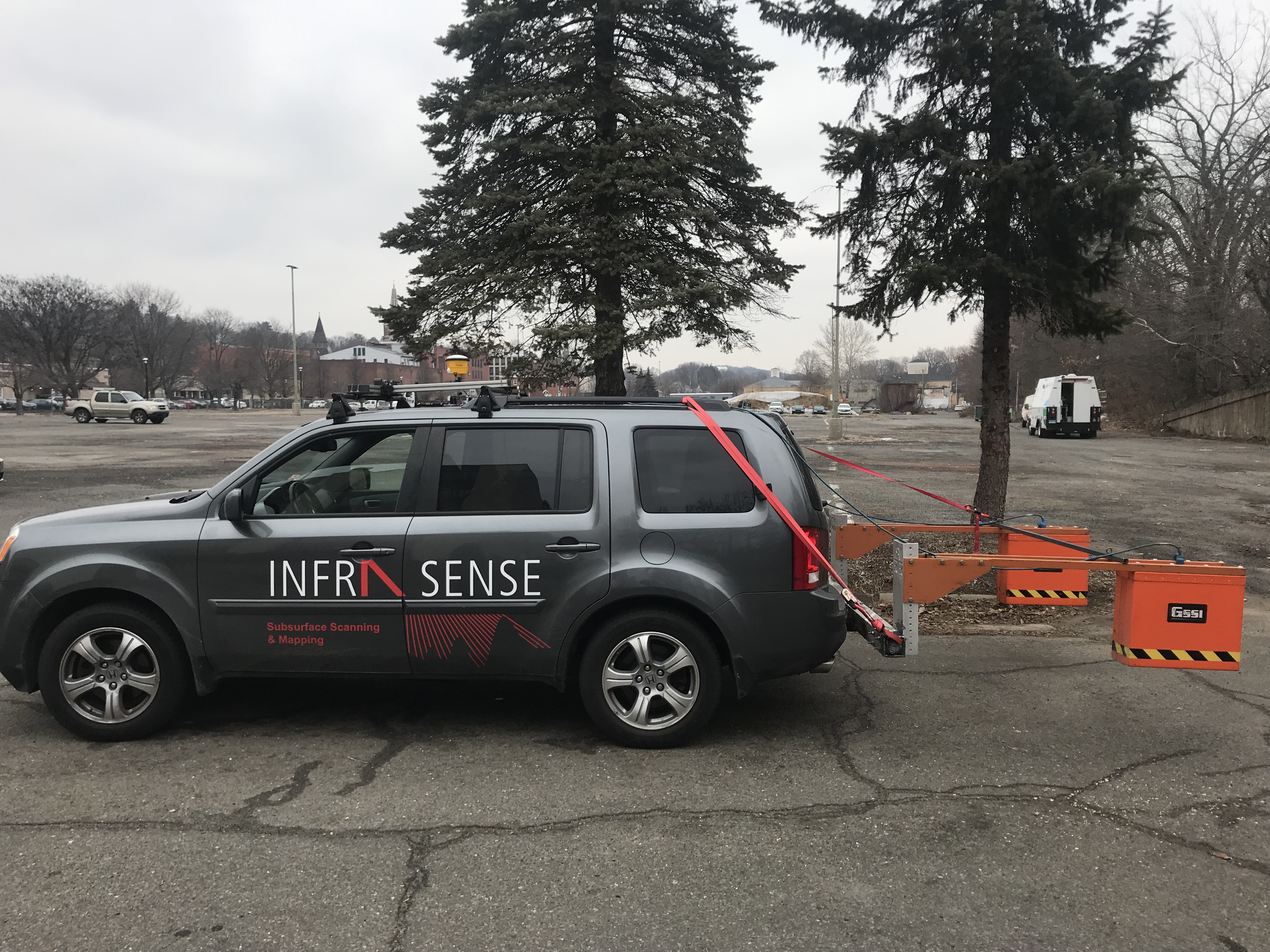
Infrasense completed a subsurface survey to map the location and position of an oil/water separator and drainage basin structure that had its access lids paved over during construction at the site.
The rapid NDE survey consisted of using a portable, GPR Survey System manufactured by GSSI, Inc. to identify and map out the locations so access could be re-established. The NDE survey required a few hours onsite to mark out and record reference positioning to create plan view maps of the results. The inflow and outflow lines of the oil/water separator were also identified and mapped to the nearest inflow or outflow point.
The results of this survey were provided digitally with measurements to local landmarks such as light poles, curb-to-curb distances, and a pump house. In addition to the scaled CAD drawing, photos of the field mark out were provided in the write up.
Subsequent work at this site has been completed to locate major service lines, buried obstructions and private water well lines.


