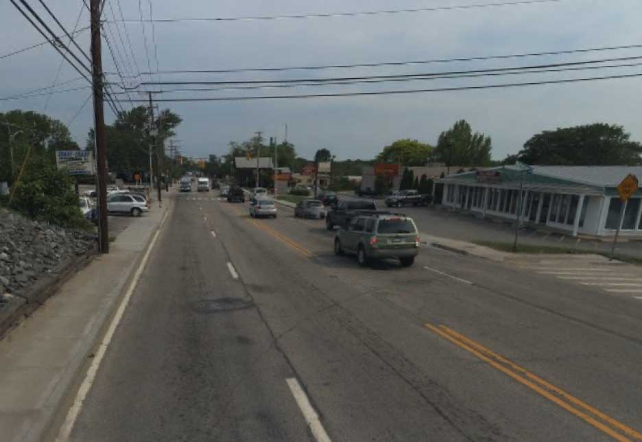
Infrasense completed a survey to both locate embedded utilities and determine pavement thickness of a three mile section of road spanning Warren and Bristol, Rhode Island. The survey was carried out using a nondestructive technology, Ground Penetrating Radar (GPR), and thus required no cores or test pits to obtain the necessary information. A majority of the survey utilized a vehicle-based system, operated at close to driving speed, to minimize disruption to traffic flow. The information obtained will facilitate planning efforts associated with the safe installation of a fiber-optics utility line. It is important for the project planners to understand the in-situ conditions, including the pavement thickness and utility locations, to plan a proper rehabilitation of the roadway and mitigate the risk of damaging existing utilities.
The field work was carried out by Infrasense on the three mile section of roadway in just one night. Despite the thickly settled location of this section of road, which carries relatively high traffic volume between Bristol and Warren, the surveys were performed without causing any traffic disruptions or backups. In order to detect all utilities and assess the pavement structure, Infrasense engineers used both walking and vehicle-based surveys. To detect utilities that are buried transversely across the road width, data was collected along the length of the road using the vehicle-based system. To detect utilities buried longitudinally along the length of the road, data was collected across the width of the road with the walking survey system.


