Featured News


Trusted infrastructure consulting expertise built on nearly four decades of nondestructive evaluation leadership. Our client-focused approach delivers trusted results.
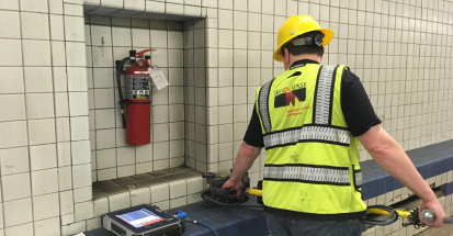
Comprehensive infrastructure assessments that minimize disruption while maximizing data quality. Our experienced teams deliver actionable reports and strategic recommendations that protect your assets.
Advanced NDE technologies that reveal critical infrastructure conditions without costly shutdowns. Our proven methods deliver the precise data you need for confident maintenance decisions.
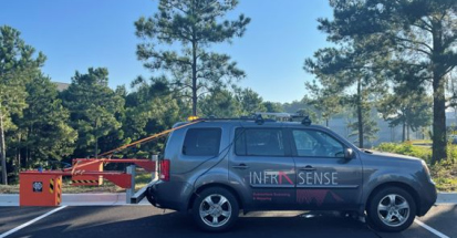
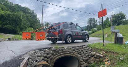
In May 2017, Infrasense carried out a GPR pavement thickness survey of 24 lane-miles of I-85 near Spartanburg, SC. The right shoulder, right lane, center lane, and left lane were surveyed in both northbound and southbound directions.
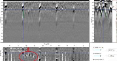
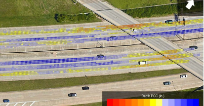
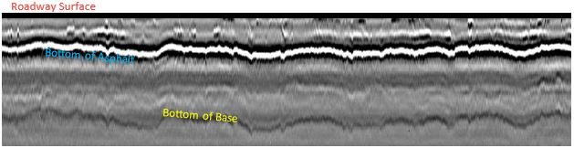
The results of the survey included a statistical summary of the pavement layer thicknesses in each lane, as well as a tabulated sheet of asphalt and base layer thicknesses reported every 5 feet with corresponding GPS coordinates. The project provided the client with a continuous and comprehensive roadway profile to facilitate a data-driven approach rehab design efforts.
The GPR equipment used for this survey was a single 1-GHz horn antenna and a SIR 20 control unit, both manufactured by GSSI in the United States. The GPR data, collected at 1 scan per foot, was synchronized with a high-resolution differential GPS unit. This particular GPR system allows for collection at highway speeds, and can provide subsurface data to a depth of 3 feet.
How does it work?
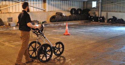
Ground penetrating radar operates by transmitting short pulses of electromagnetic energy into the pavement using an antenna attached to a survey vehicle. These pulses are reflected back to the antenna with an arrival time and amplitude that is related to the location and nature of dielectric discontinuities in the material. The reflected energy is captured and may be displayed on an oscilloscope to form a series of pulses that are referred to as the radar waveform. The waveform contains a record of the properties and thicknesses of the layers within the pavement.
See how we can apply proven methods to deliver successful outcomes for your infrastructure project.