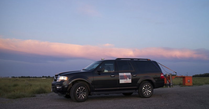
As part of the roadway structure database Infrasense developed to assist the Idaho Transportation Department (ITD), we also collected and analyzed data to assess the condition of each bridge deck located on the pavement network. Infrasense used high-speed Ground Penetrating Radar (GPR), Infrared Thermography (IR), and High-Resolution Video (HRV) testing to create plan view maps showing the bridge deck surface condition, subsurface condition, and concrete cover. These results were incorporated into the GIS database so that condition information could be easily located for each bridge using simple queries.
Categories: Bridge Deck Scanning, Idaho


