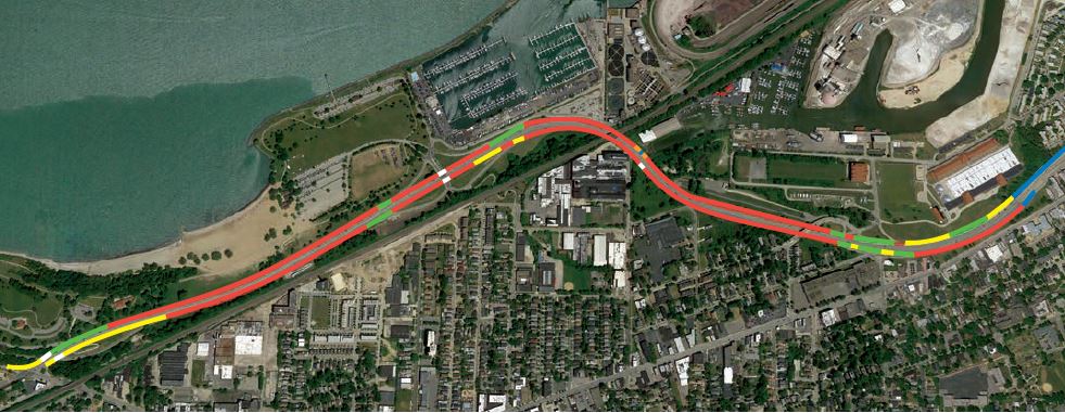
Infrasense, Inc. recently completed a subsurface pavement structure investigation of the Cleveland Memorial Shoreway using high-speed ground penetrating radar (GPR). The initial phase of the GPR evaluation included an analysis of the data to define the limits of the different structural “sections” of pavement throughout the length of both the outer eastbound and westbound shoulders. The mainline roadway is known to be constructed of concrete with an asphalt overlay, but there was some uncertainty regarding the structure of the shoulders. This structure analysis information was used by the client to guide subsequent coring operations. The combination of the targeted core information and the continuous GPR pavement structure information, including the individual layer thicknesses, provided a comprehensive picture of the subsurface conditions.
The pavement structure data was collected with a single air-coupled radar antenna, and was synchronized with a Global Positioning System (GPS) to provide coordinate locations for the detected pavement thicknesses. Data collection was performed at driving speeds allowing traffic to flow without any disruption. Pavement structure results were provided in geospatial, tabular, and graphical formats.


