Featured News
Trusted infrastructure consulting expertise built on nearly four decades of nondestructive evaluation leadership. Our client-focused approach delivers trusted results.
Comprehensive infrastructure assessments that minimize disruption while maximizing data quality. Our experienced teams deliver actionable reports and strategic recommendations that protect your assets.
Advanced NDE technologies that reveal critical infrastructure conditions without costly shutdowns. Our proven methods deliver the precise data you need for confident maintenance decisions.
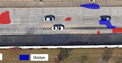
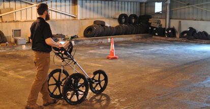
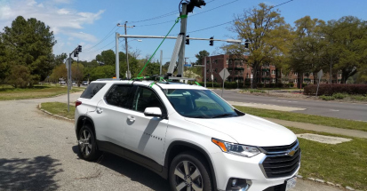
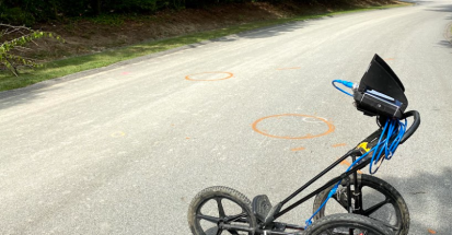
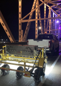
This past summer, Infrasense surveyed 10 miles of interstate pavement and 23 bridge decks with ground penetrating radar.
The objectives of the GPR survey included:
Multifaceted survey to quantify and map subsurface conditions
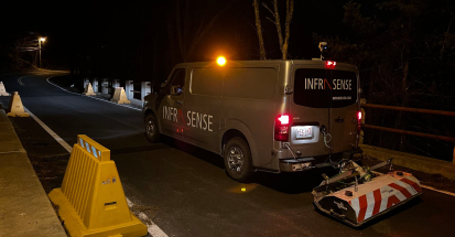
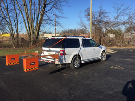
The equipment setup use for this survey was a dual 1-GHz horn antenna system manufactured by GSSI of Nashua, NH. The antennas, along with a distance measuring instrument and a GPS unit, were integrated into the SIR-30 GPR control system. At a collection rate of 6 scans per foot, data was collected at offsets paced 3-feet transversely within each mainline lane and shoulder, and along all intersecting ramps and select bridge decks.
See how we can apply proven methods to deliver successful outcomes for your infrastructure project.