Featured News
Trusted infrastructure consulting expertise built on nearly four decades of nondestructive evaluation leadership. Our client-focused approach delivers trusted results.
Comprehensive infrastructure assessments that minimize disruption while maximizing data quality. Our experienced teams deliver actionable reports and strategic recommendations that protect your assets.
Advanced NDE technologies that reveal critical infrastructure conditions without costly shutdowns. Our proven methods deliver the precise data you need for confident maintenance decisions.
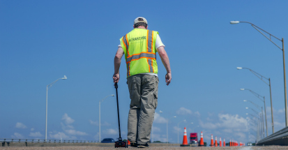
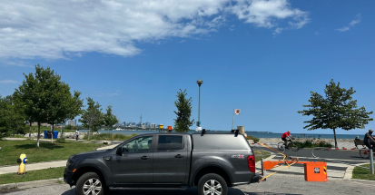
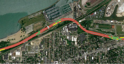
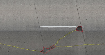
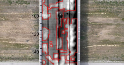
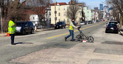
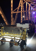
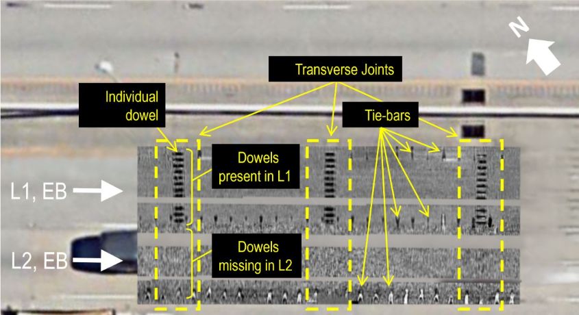
Infrasense recently completed subsurface scanning and mapping of a ~2-mile concrete pavement section in eastern South Carolina using a vehicle-based 3D-GPR system. This project involved an in-depth investigation of the layout, depth, spacing, and alignment of the dowel bars at the transverse joints and the tie bars at the longitudinal joints between lanes.
If you have an upcoming project that would benefit from our pavement evaluation services, please visit our contact page or reach out to us at opps@infrasense.com.
See how we can apply proven methods to deliver successful outcomes for your infrastructure project.