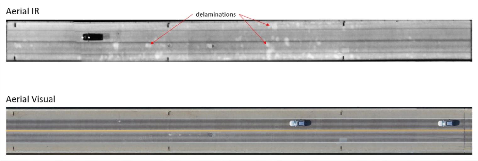
Infrasense recently completed an internal research effort to assess the feasibility and accuracy of aerial imaging for mapping bridge deck conditions. The results of this study provided support for implementation on upcoming projects. The primary advantage of the aerial method is its efficiency. Data can be collected for hundreds of bridge decks in a single day, and, using Infrasense’s processing and analysis methods, defects can be quantified and mapped in no time!
The two methods utilized for aerial surveys of bridge decks are infrared thermography (IR) and high-resolution visual (HRV). Infrared detects delaminations just under the surface of the bridge deck, where there is room for air and moisture to infiltrate and heat up faster than the surrounding material. This temperature differential shows up on an infrared map, where delaminated boundaries can be delineated, and quantities can be produced. HRV is coupled with this method to rule out any thermal anomalies on the deck such as debris, shadows, wet spots, staining, etc.
Aerial imaging, if adopted, will open the door to comprehensive routine bridge deck evaluations at a relatively low cost. This fills a real need in the inspection market as accurate, network-level data is required to facilitate asset management decisions. In a data-driven age, a number of advancements, such as the use of aerial imaging, will emerge to meet the growing needs of infrastructure owners.


