Featured News
Trusted infrastructure consulting expertise built on nearly four decades of nondestructive evaluation leadership. Our client-focused approach delivers trusted results.
Comprehensive infrastructure assessments that minimize disruption while maximizing data quality. Our experienced teams deliver actionable reports and strategic recommendations that protect your assets.
Advanced NDE technologies that reveal critical infrastructure conditions without costly shutdowns. Our proven methods deliver the precise data you need for confident maintenance decisions.
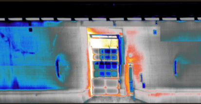
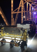
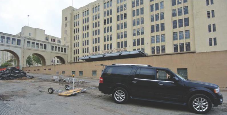
Infrasense recently completed a project using a ground coupled vehicle mounted 3D Ground Penetrating Radar (GPR) system (manufactured by 3D-Radar) to identify subsurface objects that would impede future installation of sheet pile walls at the Brooklyn Terminal.
Using the trailer-mounted 3D-Radar step frequency array system reduced the data collection time significantly and provided an excellent combination of resolution and depth of penetration. Using traditional GPR setups to obtain this type of data would require multiple surveys using different frequencies of antennas, adding even more time to the data collection process. The 3D-Radar system uses a 21-antenna array to obtain frequency data from 300 MHz to 3GHz, and image the subsurface in 3 dimensions.
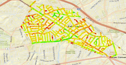
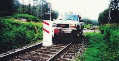
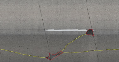
High precision GPS was integrated into the data collection system to combine adjacent lines of data and map common subsurface features accurately. Final utility maps were provided as plan-view drawings and in CAD-compatible format. These utility map deliverables included locations of utilities, underground storage tanks, obstructions and structural components possibly related to building foundations. Infrasense also discovered a series of railroad tracks that were thought to have been removed in the past, but were instead buried in asphalt.
See how we can apply proven methods to deliver successful outcomes for your infrastructure project.