Featured News

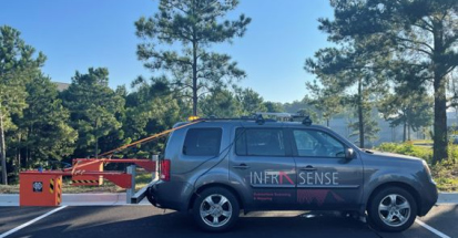
Trusted infrastructure consulting expertise built on nearly four decades of nondestructive evaluation leadership. Our client-focused approach delivers trusted results.
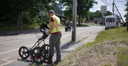
Comprehensive infrastructure assessments that minimize disruption while maximizing data quality. Our experienced teams deliver actionable reports and strategic recommendations that protect your assets.
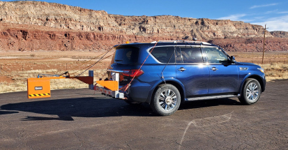
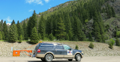
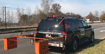
Advanced NDE technologies that reveal critical infrastructure conditions without costly shutdowns. Our proven methods deliver the precise data you need for confident maintenance decisions.
Infrasense has developed a collaboration with GPR Imaging Solutions PTY LTD of Melbourne, Australia.
GPR Imaging Solutions was formed in 2013 to introduce high speed subsurface scanning into the Australian market. As part of this collaboration, Infrasense has advised GPR Imaging Solutions in implementing the equipment for roadway scanning, and has provided data analysis support services.
The first collaboration between Infrasense and GPR Imaging Solutions was for a moisture infiltration investigation, on the 14-mile Princes Highway “Duplication” project between Waurn Ponds and Winchelsea. The purpose of this investigation was to identify areas where the pavement was infiltrated by groundwater, which was causing construction issues and delays. GPR Imaging Solutions was engaged by the BMD Group in Victoria, Australia, to carry out this investigation. Infrasense contributed its expertise in the data analysis portion of the investigation in order to locate and map areas of unusually high dielectric properties within the crushed rock pavement layers.
Infrasense and GPR Imaging Solutions collaborated on a second project for the proposed 23-mile Princes Highway “Duplication” from Winchelsea to Colac to identify the location and depth of asphalt patches, the depth of granular pavement layers, and the locations of possible moisture ingress. Infrasense contributed to the data analysis phase of the project, calculating the layer thicknesses and dielectric values of the pavement.
Infrasense has provided a range of NDE consulting expertise since our first collaboration with GPR Imaging Solutions, including mapping bedrock and identifying boulders and obstructions in GPR data, analyzing GPR bridge deck and pavement data for condition, and analyzing infrared thermography data.
See how we can apply proven methods to deliver successful outcomes for your infrastructure project.