Our Company

Trusted infrastructure consulting expertise built on nearly four decades of nondestructive evaluation leadership. Our client-focused approach delivers trusted results.

Services

Comprehensive infrastructure assessments that minimize disruption while maximizing data quality. Our experienced teams deliver actionable reports and strategic recommendations that protect your assets.

Technology

Advanced NDE technologies that reveal critical infrastructure conditions without costly shutdowns. Our proven methods deliver the precise data you need for confident maintenance decisions.

Utility Locating & Mapping

Accurate Mapping for Smarter Planning

Overview

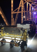
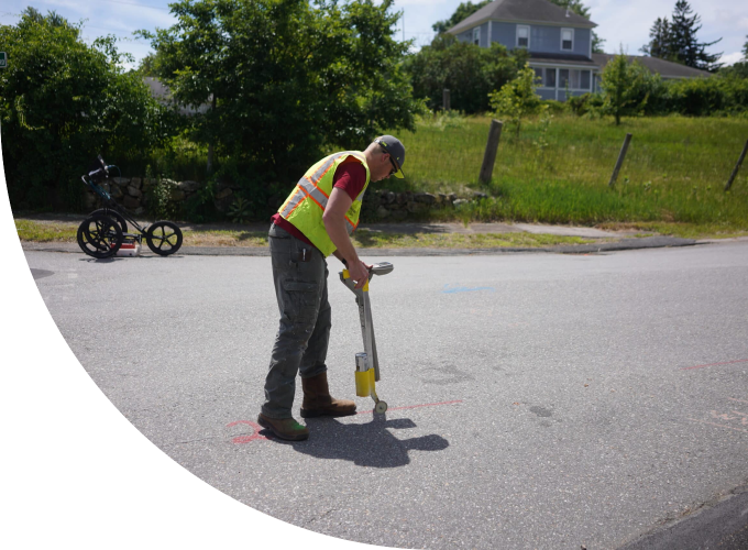
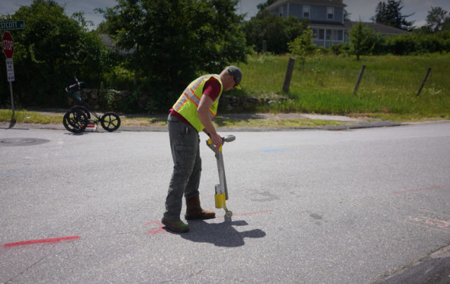
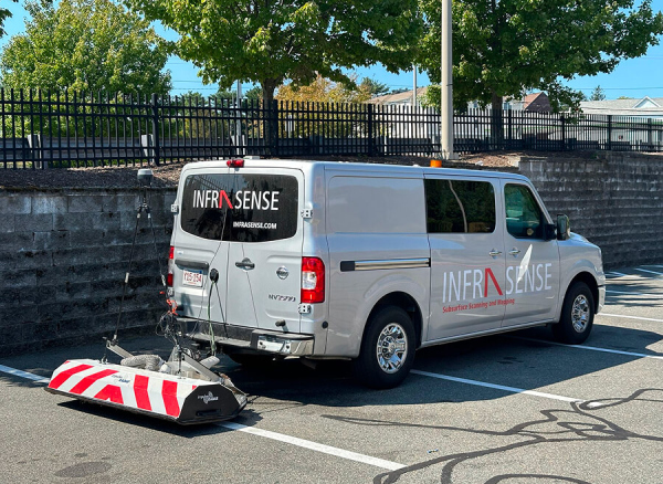
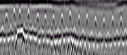
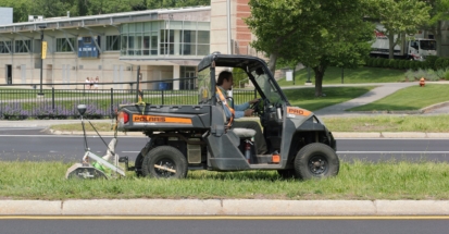
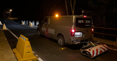
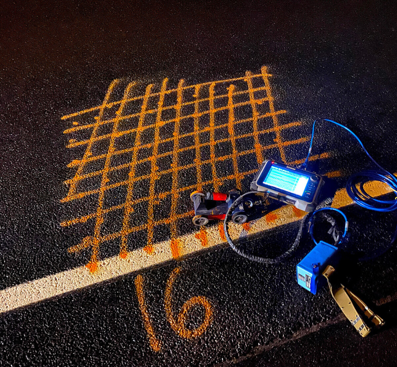
Infrasense utilizes a suite of nondestructive testing (NDT) methods including Ground Penetrating Radar (GPR), 3D-GPR, Electromagnetic Induction (EMI), and Electromagnetic Conductivity Meter technology to locate and map subsurface utilities and obstructions.

The NDT data can be geo-referenced using high-precision, differential GPS coordinates to accurately integrate targets or areas of concern into site survey drawings. This type of comprehensive utility locating prevents costly excavation damage, reduces project delays, and ensures worker safety by providing an accurate depiction of the subsurface.

Capabilities

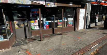
Locating and marking out underground utilities
ASCE 38/22 Guideline for Investigating and Documenting Existing Utilities
Detecting other underground objects
i.e. storage tanks, manhole covers, concrete structures
Identifying the depth and service type of utilities
Compiling findings
and mapping utilities in CADD compatible format

Results You Can Trust

In addition to onsite mark-outs, the geophysical data can be processed to provide the following:

  • Subsurface Utility Engineering (SUE)
    Quality Level A through D services for comprehensive utility risk assessment and project planning coordination.
  • CADD compatible maps
    Which include both the type and positioning of each utility.
  • Geospatially referenced results
    Allowing integration into ArcGIS

Ready for a Project?

Contact our experienced team today to discuss your subsurface utility mapping needs and receive a customized quote for your project.

Request a Quote
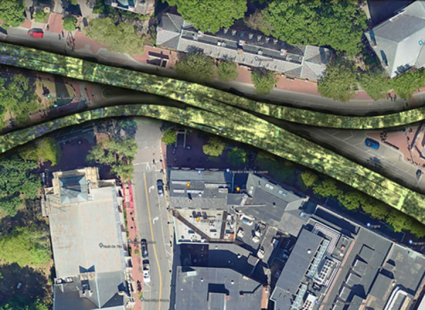
“For a complicated project in Harvard Square, Kleinfelder hired Infrasense to conduct GPR of the roadway, redline tunnel and the utilities using Infrasense’s technology. The data was proven to be valuable to determine the existence of utilities in question where records were not complete, the roadway structure, and the MBTA redline tunnel where we were not able to get a permit to excavate to locate the top of the tunnel due to permitting issues. The data and technology has come a long way and was proven to be invaluable.”
— Tyson Ross, Senior Project Professional, Kleinfelder
“We’ve partnered with Infrasense on a range of projects over the years, and they’ve consistently delivered. Their team brings deep technical expertise, professionalism, and a willingness to go the extra mile—especially on fast-moving or complex jobs where precision matters most. When we need GPR or specialized NDE, Adam is always our first call.”
— Mollie Rhett, Director of Marketing, ICC-IMS

Have a Question?

  • Our multi-technology approach using GPR, electromagnetic induction, and conductivity methods provides accurate utility locations with depth and service type identification that prevents the $50,000+ average cost of utility strikes. By delivering CADD-compatible mapping that integrates with project plans, contractors can excavate confidently while avoiding the project delays and safety risks associated with unexpected utility encounters.

  • Quality levels range from records research (Level D) to precise surveying of exposed utilities (Level A), with our NDT methods typically providing Level B designation through geophysical detection and mapping. Most projects benefit from Level B services that provide accurate horizontal positioning and approximate depth information without expensive excavation, offering the optimal balance of detail and cost-effectiveness.

  • Yes, our GPS-referenced results integrate seamlessly into CADD systems and GIS databases, allowing direct incorporation into construction plans and survey drawings. This capability enables real-time coordination between utility locations and proposed construction, reducing design conflicts and supporting accurate project planning while maintaining precise spatial relationships with existing site features.