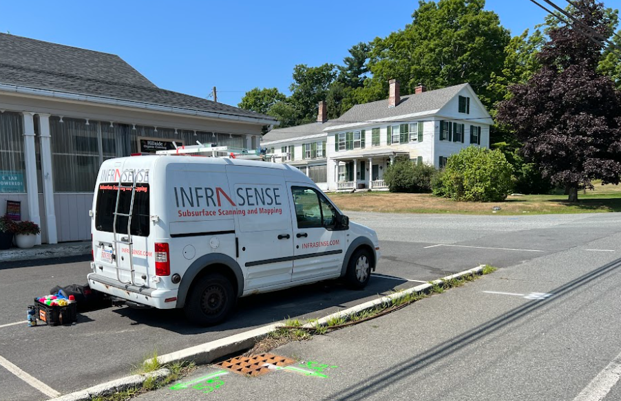
In August of 2022, Infrasense performed an SUE QL-B survey to map the location of underground utilities of known and unknown origin adjacent to the Church Street bridge crossing Fall River in Bernardston, Massachusetts. The survey included the use of GPR and EMI tools as the primary detection instruments and GPS for positional accuracy. The infield-located utilities, combined with those identified using GPR data collection were reviewed against as-built drawings provided by the service providers and those consolidated by The Engineering Corp.
The locations and depths of new utilities are delineated on the results maps on a layer identified as “Infrasense” utilities in the CAD drawings. The SUE survey confirmed the presence of water, drainage, and communications lines, and identified two unknown potential service lines that are truncated within the survey area on the west side of the bridge. Each of these additions is provided on the submitted Final Analysis map.


