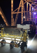
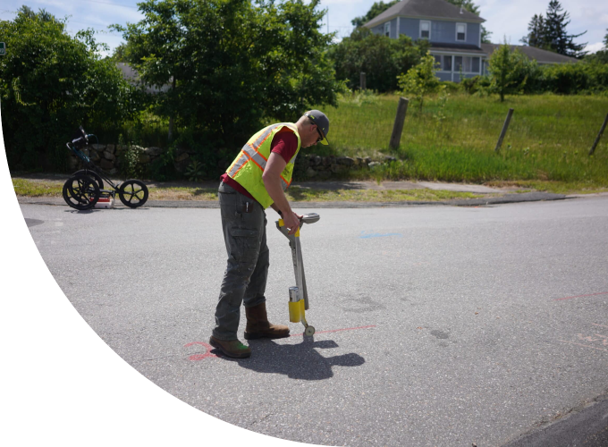
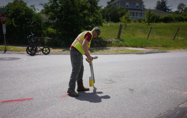
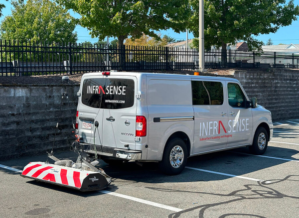
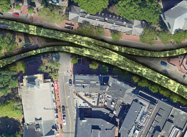
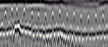
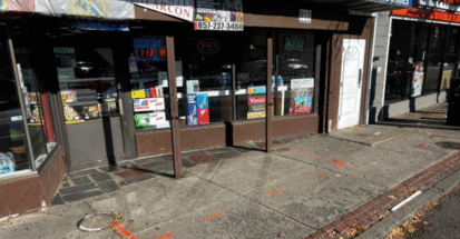
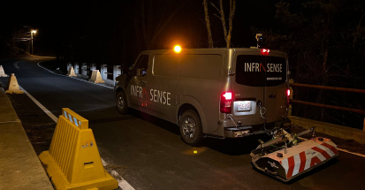
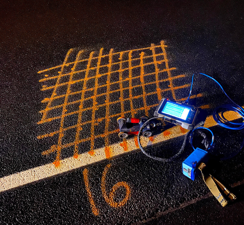
Infrasense utilizes a suite of nondestructive testing (NDT) methods including Ground Penetrating Radar (GPR), 3D-GPR, Electromagnetic Induction (EMI), and Electromagnetic Conductivity Meter technology to locate and map subsurface utilities and obstructions.
The NDT data can be geo-referenced using high-precision, differential GPS coordinates to accurately integrate targets or areas of concern into site survey drawings. This type of comprehensive utility locating prevents costly excavation damage, reduces project delays, and ensures worker safety by providing an accurate depiction of the subsurface.
In addition to onsite mark-outs, the geophysical data can be processed to provide the following:
Contact our experienced team today to discuss your subsurface utility mapping needs and receive a customized quote for your project.
Our multi-technology approach using GPR, electromagnetic induction, and conductivity methods provides accurate utility locations with depth and service type identification that prevents the $50,000+ average cost of utility strikes. By delivering CADD-compatible mapping that integrates with project plans, contractors can excavate confidently while avoiding the project delays and safety risks associated with unexpected utility encounters.
Quality levels range from records research (Level D) to precise surveying of exposed utilities (Level A), with our NDT methods typically providing Level B designation through geophysical detection and mapping. Most projects benefit from Level B services that provide accurate horizontal positioning and approximate depth information without expensive excavation, offering the optimal balance of detail and cost-effectiveness.
Yes, our GPS-referenced results integrate seamlessly into CADD systems and GIS databases, allowing direct incorporation into construction plans and survey drawings. This capability enables real-time coordination between utility locations and proposed construction, reducing design conflicts and supporting accurate project planning while maintaining precise spatial relationships with existing site features.