Our Company

Trusted infrastructure consulting expertise built on nearly four decades of nondestructive evaluation leadership. Our client-focused approach delivers trusted results.

Services

Comprehensive infrastructure assessments that minimize disruption while maximizing data quality. Our experienced teams deliver actionable reports and strategic recommendations that protect your assets.

Technology

Advanced NDE technologies that reveal critical infrastructure conditions without costly shutdowns. Our proven methods deliver the precise data you need for confident maintenance decisions.

High-Resolution Imaging

Advanced Visual Documentation and Analysis

Transforming Visual Inspections with Digital Precision

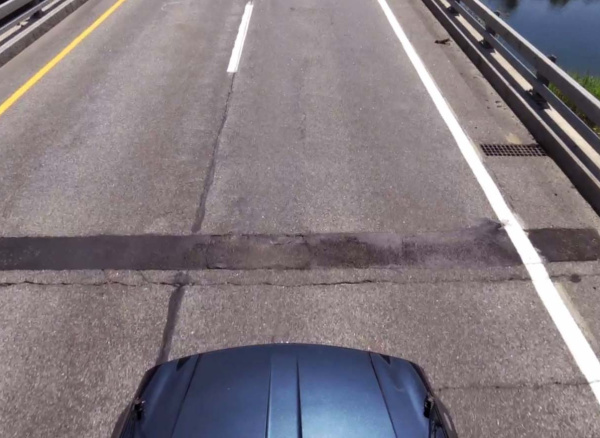
High-Resolution Imaging revolutionizes traditional visual inspections by capturing detailed high resolution 4K video and GPS referenced documentation of bridge decks and pavement surfaces with data collected at normal driving speeds. This technology addresses the limitations of conventional visual inspections—which are slow, subjective, and challenging on large or high-traffic structures—by providing fast, safe, and comprehensive visual data collection.

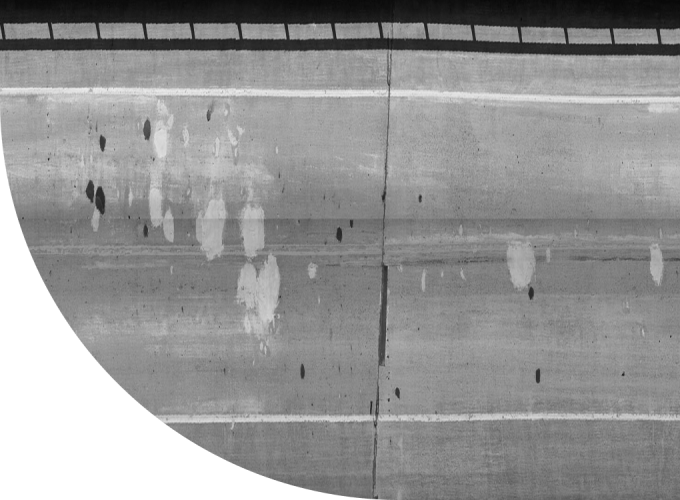
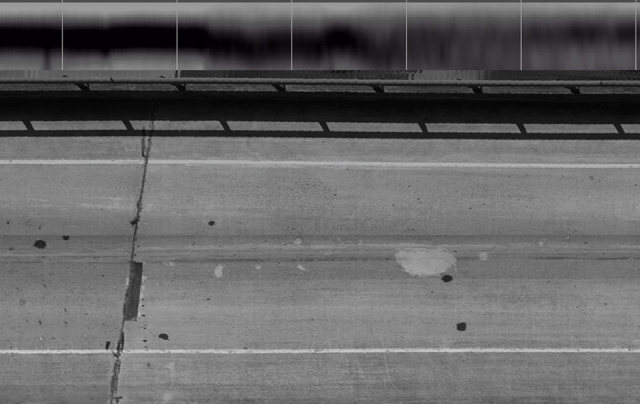
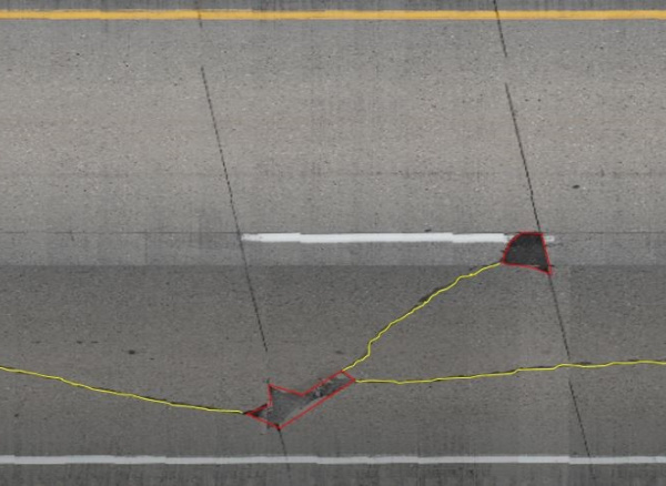
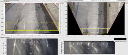
The system works by recording ultra-high-definition video that captures a full lane width per driving pass, creating detailed resolution of surface conditions including cracks, patches, spalls, and other distress features. Infrasense’s proprietary software processes this raw video data into scale plan-view composite images with perspective correction and lighting enhancement capabilities.

This digital approach transforms subjective visual observations into quantifiable, mappable data that supports objective condition assessment and maintenance planning decisions.

Capabilities

4K Ultra-High Definition Recording
Advanced camera systems capture 4K video at 30 fps or HD 1080p at 60 fps, providing exceptional detail for defect detection and surface condition analysis.
High-Speed Data Collection
Vehicle-mounted systems record full lane-width visual data at normal driving speeds with no traffic closures or lane restrictions required.
Multi-Platform Deployment
Flexible data collection using vehicle-mounted systems and fixed-wing aircraft depending on project requirements and site access.
Proprietary Image Processing
Advanced software creates scale plan-view composite images with perspective correction and lighting enhancement for consistent, analyzable visual documentation.

Applications

High-resolution imaging is essential for:

  • Bridge deck crack mapping and quantification
  • Pavement surface distress documentation
  • Patch and spall area measurement
  • Concrete surface condition assessment
  • Visual verification of infrared thermography findings

Equipment

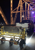
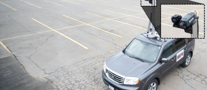
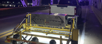
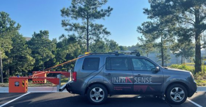
High resolution imaging cameras vehicle mounted

4K Camera Systems

Ultra-high definition video recording technology capable of capturing full lane-width data with exceptional clarity and detail resolution.

Vehicle-Mounted Platforms

High-speed data collection systems synchronized with GPS positioning and distance triggering for precise location accurac

Advanced Image Processing Software

Proprietary analysis tools that create composite images, apply perspective corrections, enhance lighting consistency, and quantify distress areas.

Ready to capture every detail of your infrastructure?

Partner with our imaging specialists to get the comprehensive visual documentation you need for thorough condition assessment.

Request a Quote

Have a Question?

  • High-resolution 4K imaging captures complete surface conditions at driving speeds, eliminating the subjectivity and access limitations of traditional visual inspections. Our proprietary software creates quantifiable distress maps that provide objective condition data for maintenance planning, reducing inspection time by 80% while improving documentation quality.

  • Yes, our ultra-high-definition systems capture crack details with millimeter-level precision and create scale composite images for accurate measurement and analysis. This digital approach enables precise crack quantification and tracking over time, providing the detailed documentation structural engineers require for load capacity assessments and rehabilitation planning.

  • Vehicle-based systems eliminate safety risks associated with working on bridges in traffic while providing more comprehensive coverage than inspectors can achieve on foot. Data collection at normal driving speeds reduces traffic disruption by 95% and captures details that might be missed during visual inspections, especially on large or high-traffic structures.