Featured News
Trusted infrastructure consulting expertise built on nearly four decades of nondestructive evaluation leadership. Our client-focused approach delivers trusted results.
Comprehensive infrastructure assessments that minimize disruption while maximizing data quality. Our experienced teams deliver actionable reports and strategic recommendations that protect your assets.
Advanced NDE technologies that reveal critical infrastructure conditions without costly shutdowns. Our proven methods deliver the precise data you need for confident maintenance decisions.
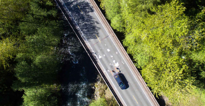
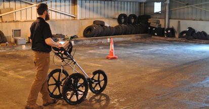
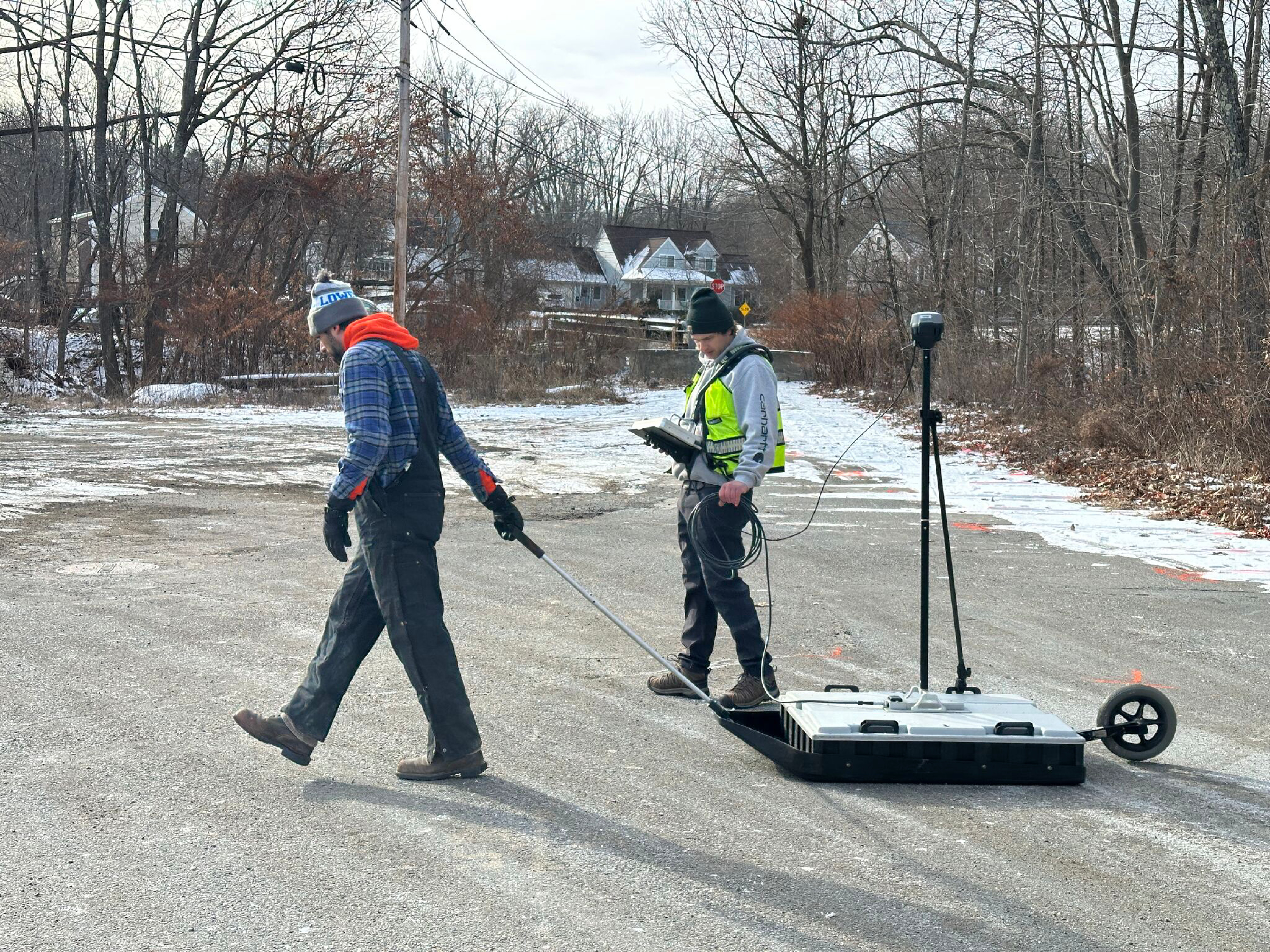
Infrasense engineers recently conducted a ground-penetrating radar (GPR) survey along a segment of road in northeastern Massachusetts in order to map bedrock topography.
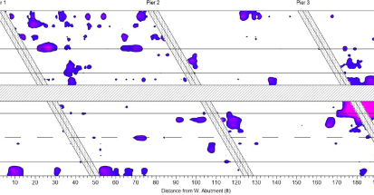
In this case, GPR proved to be an effective tool in mapping bedrock stratigraphy to approximately 25-feet maximum depth penetration.
If you have an upcoming project where we can be of assistance, we’d love to hear from you. Please visit our contactpage, or reach out to us at opps@infrasense.com.
See how we can apply proven methods to deliver successful outcomes for your infrastructure project.